Wednesday, September 27, 2023

The Lines of Torres Vedras

 We started our tour at Fort St Vincent near the town of Torres Vedras.  It was major fort that has been largely preserved in the front of of the two lines near the western end.  From there to the Atlantic the forward line was mainly a river line with dams flodding the valley.  This fort  has a small interp centre.  For 1 euro (seniors discount) you get a short movie of re-enactors with the historical background, a small display & a map of the sites for self driving tour.  The maps shows the forts that have survived but was woefully inadequate as far as helping one find them.  If Ms Google didn't recognise the fort's name you had to be  extremely lucky to find a signpost to it.

Fort St Vincent had impressive stone lined ditches & walls.
The fort is huge.
Plan of the fort.
All the forts are on top of hills with perfects fields of fire overlapping the next fort.  And in 1810, the ground wasn't covered in bloody gum trees.
In between the major forts were smaller forts holding half a battalion & a battery.  The ones we found had been eroded away to bumps in the ground, but their command of the surrounding land was always obvious,
This is a view from Fort Carvalha the highest point in the lines.  We could ses the Tagus from there.
There were two lines of fortresses.  In between there was a military road.  Portuguese troops garrisoned the forst while the Brits were in reserve between the lib]ne ready to move to ant troube spots.  The pic is of a model of a signal station at St Vincent interp centre.  All the forts had a comms tower so news of any French moves was immedaitely sent to HQ.  
This is Fort Feira, part of the second line, which was acually more desnse than the first line.  There was also a thrid line defending the British navy's landing zone.  Messina had no hope.


Tuesday, September 26, 2023

Busaco & Vimierio

 Bucaso is still mostly not built over, but the hils are now covered with gum trees.

Coy Cromwell at the Busaco monument.
View down the hill from the british position at Busaco.  The pic really doesn't do justice to the steepness of the slope but the ground was much less wooded at the time of the battle.  The countryside around is all very hilly & wooded, no surprise that Messina had a hard time pushing thru & found recon difficult.
Vimero was a great contrast from Busaco.  Unfortunately largly built over, but the form of the hills is still obvious & there are areas of undeveloped country that indicate what it was all like  at the time.
Coy Cromwell at the monument.  There was an interp centre there, but closed Mondays.

Tnoght we at a nice Gite near Torres Vedras we have booked for two nights to give us a whole day to explore the lines of Torres Vedras.  Report coming soon. 

Some Roman Spain

 After the Tour de Wellington we started our own self guided tour.  From Mdrid we took a sweep to the NW to rendezvouz with Chris' Irene  We were too far west for the 1813 campaign & Corruna is to0o built over to bother with, so it mostly a scenic trip to Santigo de Compostela & down top Porto.  But on the way we checked out Roman walls at Astorga & Lugo.   

The Roman walls at Astorga have survived in part.
But the walls at Lugo are the only complete Roman city wall that has survived.  It is a 2.2 km perimeter with 77 towers, all between 10m & 15m high.

Sunday, September 24, 2023

Wellington in Spain tour with Nick Lipscombe

This 7 day tour started & ended at Madrid.  Nick Lipscombe who wrote the excellent Peninsular War Atlas was our guide, assisted by an efficient Leonie as tour manager & a very Spanish Alphonso driving the bus.  There were 22 in the party. Jim, Chris, Dale & SteveD from Camp Cromwell, 2 others from Oz, some Yanks, some Canadians & the rest poms including two interested wives.  They were an interesting mob, including wargamers, re-enactors, ex-military & colonel blimps, & we were never short of dinner conversation

Our route was Madrid-Talavera-Albeura-Badajoz-Elvas-Alacantra-Almeida-the Coa-Fuentes de Orno-Fort Conception-Cuidad Rodrigo-Salalmanca-Garciahernandez-Avila-Madrid.

Nick's took us to good vantage points for all the actions on the route & provided an excellent commentary on each battle & seige as well as the background of the war in general.

The accomodation was was always good & often quirky, like converted hospitals & convents in fortress towns, and best of all two nights at a hotel inside the ruined Fort Conception near Cuidad Rodriguo.

Medieval walls at Trujillo.
Albeura.
Badajoz.
View from hotel in Elvas.
The Roman bridge at Alcantara.
Our hotel in Fort Conception.
Almeida.
Fuentes de Orno village.
On the walls of Cuidad Rodrigo.  Nick Lipscombe is in the centre.
Coy Cromwell on the le Grande Arapil at Salamanca.  A great battlefield - not built over, lots of hills providing vantage points & an excellent interpretation by Nick.


Monday, September 11, 2023

The Marne 1914

On opur way to CDG we followed the 1914 Germans to the Marne where they ran out of steam.  Their pincer movement on the French was flanked by the British & they were forced to retreat.

The battle front was about 40km wide, much of it on an open plateau.  Tgis si a view from the Geram right flank towards the north head of the french salient.
This pic is from the same spot looking east behind the Germans towards where the Britishw ere coming from.  The British had to pass though wooded terrain with river & a canal  top cross to reach the Germans - clearly a  major factor in allowing the Germans to retreat out of the pocket they were in.

That's the end of out French expedition.  Tomorrow Renfrey flies home to Southampton & the rest of us catch the TGV to Madrid to rendezvous with Dale.


The Maginot Line & a bit of Vauban

L'ouvrage de le Ferte was the small Maginot Line fort on the west end of the Line & was the only fort the Germans managed to take. 

Even an 88 couldn't get thru the capolas.
The most likely theory is thought that this pop up cupola was dislpodged & the bunnker under was set on fire & there was a failure in the isolation system & the entire garrison of 200 men was gassed or asphysiated.    We were not able to go inside because it was only open to guided tours in the afternoon & we had a higher priority for then

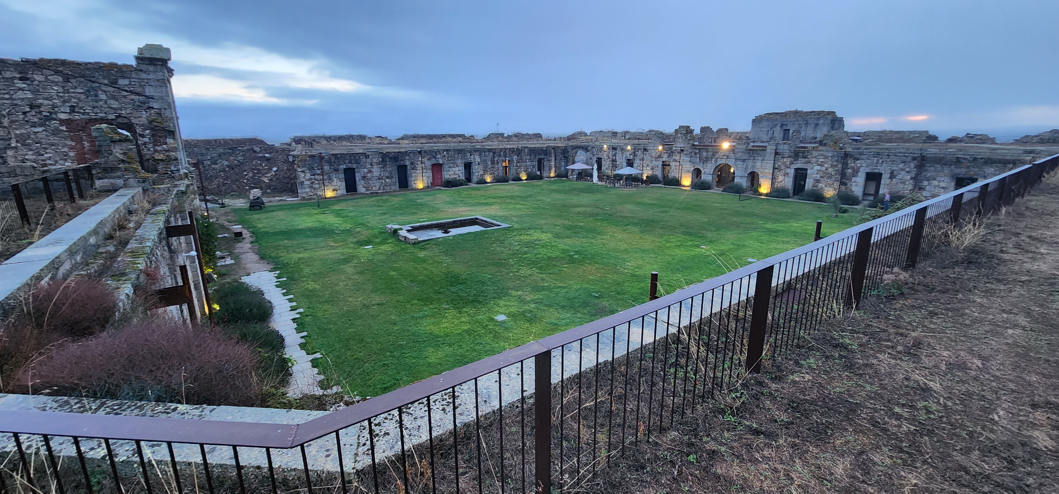
Montemedy was built over many years & held by a Spanish garison of 900 men when attacked by 20,000 French in Lousis XIV's time.  It capitualated after 59 days.  Vauban then added further improvements & not taken again.

It is on a  magnificent site providing great views of the beautiful countryside.  The village inside is mostly deserted with town now below the citadel. 
   

L'ouvrage de Fermont is a major Maginot fort & open for tours at the same time as le Ferte. We proritised this one.  It has been repaired by volunters.

The tour guide only spoke French, but we were lent an English booklet & most of it was self evident anyway.  The fort has two major bunkers with 2 or 3 75mm guns, numerous mg posts, amumitions stoes & living quaters spread over a 2km front all connected by underground railway.  We were taken from the ammunition store to bunker no.1 on the railway.  We were taken outside at bunker 1 & walked to bunker 2 & back.  Then back on the railway to the living quarters.  After the tour there was a museum full of bits & pieces from other forts.
The electric train.
Outside bunker no.1 with 3 75mm guns.
On top of bunker no.2 with a pop up twin 75mm turret.
Battle scars on the gun cupola  The German attacked the fort with a mix of guns for 88 up to 305mm but failed to break it.  The French lost 1 casulaty. The closest they got was when an 88 ponded one spot on bunker no.1 all morning.  It was almost thru when they gave up or ran out of ammo & the Frenc plugged the hole overnight.
Sleeping quarters for the 800 man garrison.

It took over 2 hours to go though the fort & aother half to check out the museum & array of guns outside the entrance.  Definitely a high point of the trip.


Sunday, September 10, 2023

The Ardennes 1940 & 1944

From Hannut we drove south across the front of the German attacks of 1940 & 1944 to Sedan.  We had no data on small actions related to specific terrain features, but our focus was on the big picture, getting a feel for the ground that the Allies thought was impractical for a large army.  The area is indeed very hilly & largely forested.  Now there are a lot of good roads through it, but in the war these woudl have been one lane.  Clearly the Germans were taking a huge risk in 1940 when if the Allies had done air recon it would have become like the road to Kiev in 2022.  And the Bulge was just crazy.

There is an excelleny museum at Bastogne that covers the whole war in general as well as the Bulge in detail.   And it gives a balanced account with stuff about Germasn soldiers just doing their duty as well as the Bad Guys.

This Sherman in the museum got hit something big.  There is an exit wound on the other side.
A very cool kuberwagon.

The Panther below is beside the road in Houfalize, a town just north of Bastogne.  According to the information boards this tank was in Normandy, retreated to Holland, fought at Arnhem, then attacked in the Bulge.  But it met an inglorious end when the driver misjudged a bridge crossing in a fog & it fell in the river drowning the crew.  After the war it was repaired & put on display just up the road from the bridge.

A bloody sweep across Belgium

 From near Yres we drove east to Hannut via three battlefeilds.

At Oudenarde where Marlborough smashed the French in 1706.  There were no markers or display boards, but we identified the field of battle by comparing modern & historical maps.  It was made difficult by villages having two or three names - French, Walloon & sometimes English that have usually morphed significantly in 300 years.   The key manouvre was a cavalry sweep around the French left after pinning the front of their line (while Eugene kept the rest of the French busy on the Allied right).  We identified the ground where the Allied cavalry made their move.


We'd all been to Waterloo before, but it was on the way & the weather was perfect.
We did lunch at the Restaurant 1815 on the field.
 
There's nothing spectacular at Ramilies 1708, but although unmarked, it was easy to find as the village of Ramilies is in the centre of it & all you need is a compass to orientate the opposing lines.  The French had a strong position behind the creek running through Ramilies.  Marlborough attacked Ramilies & the French left to draw in their reserves while he massed most of his cavalry behind a slight rise on his left.  Then he sent a massive cavalry charge across the plain in the pic to smash the French right.   

Friday, September 08, 2023

The Western Front

We stayed at a Gite near Albert for two nights to explore the Somme before moving north to another gite near Ypres. Renfrey had some particular sites he wanted to visit regaridng his PHD thesis on a particular British division in the Great War.

In the main the battlefields are not that exciting to look at, but interesting to see just how flat the terrain generally is & how low the hills & ridges so many men died on were.   And the frequency & size of the cemetaries is geninely awful.

The most interesting location we visited was the Canadian site on Vimy Ridge, which the Canadians took with enormous casualties.  The site has tunnels & trench lines partially restored you can get into, plus a mess of vast craters from mine explosions in ground still undulating in a maze of shell holes.   The site also had the cutest guides - Canadian uni students on 4 month work experience.


Wednesday, September 06, 2023

Normandy Breakout, Cressy & Agincourt

We followed the US south thropugh the bockage & had dinner with my cousin who live in St Pois where we stayed the night.   Then to the hill at Montain where the US stopped Hitler's dumb counterattack.

US fox hole on the ridge.
South of the town of Falaise there is an excelent viewing point with detailed maps & descriptions of the closing of the gap.
On the ridge to the east where the Canadians & Pole blocked the Falaise gap there is a memorial & museum with a grand view of the gap.

Not far east of the gap at Vimotiers is a Tiger beside the road where it was abandoned out of diesel.

After staying overnight at Lisieu, we went north to Cressy.  Traditionally the battle site is close to the village of Cressy, but there is an alternative site about 5km away.  We visited both & really both fit the scanty records of the battle.  But finding the new alternative which is not marked & doesn't have a viewing platform was much more interesting.
We liked the recent alternative better, though the Cressy tourist businesses would rather it went away.
There is less contovesy about the site of Argincourt, but in fact there are plenty of other pieces of ground in the area that would fit the bill.
So much to learn from these battlefields except to get a feel for the terrain in general, the scale of the action & to tick off the boxes in our bucket lists.
On to Albert where we are staying two nights to allow a good look at the WWII battlefields east of Amiens.